Historic Towns Trust

In partnership with local historians, geographers, and archaeologists, The British Historic Towns trust researches how and why our settlements developed in the way they did. They publish the results in volumes of the British Historic Towns Atlas, and historical maps in the Town & City Historical Maps series.

Their atlases and historical maps are part of an international programme with the highest scholarly standards. They promote greater understanding and sharing of our urban past. They are used by individuals, in schools and universities, and by community groups. They support the many people interested in their history, as well as promoting the awareness needed for restoration, sympathetic new development and urban regeneration.

Since their foundation, they have covered a range of towns and cities. Their ambition is to have a representative national coverage that will provide at least one volume of the British Historic Towns Atlas for every historic county or regional authority in Britain by 2050.

British Historic Towns Atlas Volume VII: Oxford Cover
Format: Hardback
Pages: 144
ISBN: 9781789253269
Pub Date: 10 Dec 2021
Series: British Historic Towns Atlas
Illustrations: b/w and colour including 16 large folded maps
Description:
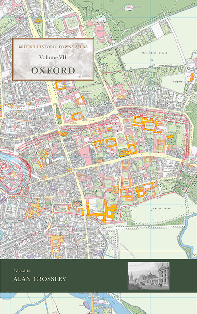
The latest volume of the British Historic Towns Atlas series covers the internationally-renowned city of Oxford. Famed for its university and its many outstanding historic buildings, the volume presents in mapped form the history of its topographical development. From its prehistoric setting, through its contentious Anglo-Saxon foundation, the medieval establishment of its university, and its sporadic growth after that, the Atlas charts how it became a nineteenth-century city dominated by colleges, churches, university buildings, and its associated publishing industry.
Winchester Cover
Format: Hardback
Pages: 144
ISBN: 9781785706660
Pub Date: 21 Nov 2017
Series: British Historic Towns Atlas
Illustrations: 24 pp of colour maps, 90 illus., almost all in ful
Description:
The volume is co-published by the Winchester Excavations Committee and forms Volume 11 of the Winchester Studies series. Following the success of volumes IV (Windsor and Eton) and V (York) in the series of Historic Towns Atlases, the new volume maps and explains the history of Winchester – a city which has played such an important part in English history from Roman times onwards. Combining many full-colour maps with an authoritative but very readable text, the atlas shows how the Roman city of Venta Belgarum became the second-most important city in England for several centuries: a walled town, the seat of kings and an ecclesiastical centre almost unparalleled in the country, before gently declining into a judicial centre and county town.
Windsor and Eton Cover
Format: Hardback
ISBN: 9781782978282
Pub Date: 12 Mar 2015
Series: British Historic Towns Atlas
Description:
This atlas is the definitive account in maps and words of the historic royal towns of Windsor and Eton. There has never been an account of the history of Eton town, and although Windsor Castle has been much studied, the last historical account of the town of Windsor was published as long ago as 1858.The atlas contains high-quality and original maps of the two towns at key periods between the twelfth and nineteenth centuries.