Humanities  /  Maps & Atlases
The Pyramid Fields of Ancient Egypt: A Satellite Atlas Cover
Format: Hardback
Pages: 200
ISBN: 9788076710535
Pub Date: 28 Jul 2022
Description:
This volume offers a valuable resource by compiling and interpreting high-resolution satellite images of all Old and Middle Kingdom pyramid sites in Egypt. The sites included in this Atlas represent to a large degree the principal sites of the third- through the thirteenth-Dynasty. Their particular characteristics mirror the specific periods of Egyptian history, providing a fascinating window into the incredible story of ancient Egypt.
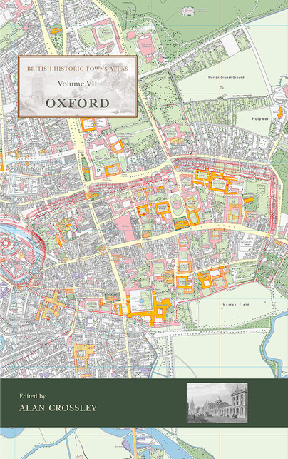
British Historic Towns Atlas Volume VII: Oxford Cover
Format: Hardback
Pages: 144
ISBN: 9781789253269
Pub Date: 10 Dec 2021
Series: British Historic Towns Atlas
Illustrations: b/w and colour including 16 large folded maps
Description:
The latest volume of the British Historic Towns Atlas series covers the internationally-renowned city of Oxford. Famed for its university and its many outstanding historic buildings, the volume presents in mapped form the history of its topographical development. From its prehistoric setting, through its contentious Anglo-Saxon foundation, the medieval establishment of its university, and its sporadic growth after that, the Atlas charts how it became a nineteenth-century city dominated by colleges, churches, university buildings, and its associated publishing industry.
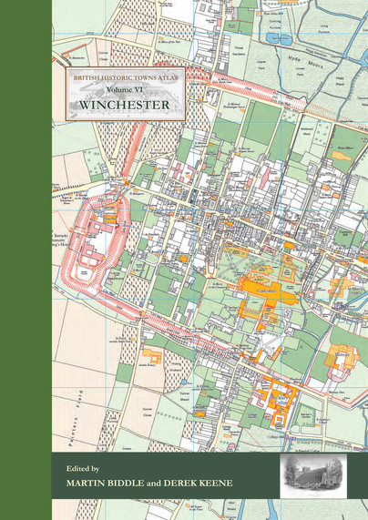
Winchester Cover
Format: Hardback
Pages: 144
ISBN: 9781785706660
Pub Date: 21 Nov 2017
Series: British Historic Towns Atlas
Illustrations: 24 pp of colour maps, 90 illus., almost all in ful
Description:
The volume is co-published by the Winchester Excavations Committee and forms Volume 11 of the Winchester Studies series. Following the success of volumes IV (Windsor and Eton) and V (York) in the series of Historic Towns Atlases, the new volume maps and explains the history of Winchester – a city which has played such an important part in English history from Roman times onwards. Combining many full-colour maps with an authoritative but very readable text, the atlas shows how the Roman city of Venta Belgarum became the second-most important city in England for several centuries: a walled town, the seat of kings and an ecclesiastical centre almost unparalleled in the country, before gently declining into a judicial centre and county town.
Dury and Andrews’ Map of Hertfordshire Cover
Format: Paperback
Pages: 240
ISBN: 9781909686731
Pub Date: 30 Nov 2015
Imprint: Windgather Press
Description:
This book is about the map of an English county – Hertfordshire – which was published in 1766 by two London map-makers, Andrew Dury and John Andrews.For well over two centuries, from the time of Elizabeth I to the late 18th century, the county was the basic unit for mapping in Britain and the period witnessed several espisodes of comprehensive map making. The map which forms the subject of this book followed on from a large number of previous maps of the county but was greatly superior to them in terms of quality and detail.
Atlas de la Seconde Guerre Mondiale Cover
Format: Paperback
Pages: 256
ISBN: 9782352502432
Pub Date: 31 Oct 2015
Description:
Written by leading experts on modern conflicts (first and second world wars, war of the Pacific, Vietnam), all the major battles and campaigns of the conflict since the invasion of Poland in 1939 to the defeat of Japan, 1945, are described in detail.The texts are illustrated by numerous detailed maps and legendary photographs from the period.TEXT IN FRENCH
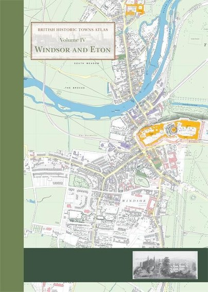
Windsor and Eton Cover
Format: Hardback
ISBN: 9781782978282
Pub Date: 12 Mar 2015
Series: British Historic Towns Atlas
Description:
This atlas is the definitive account in maps and words of the historic royal towns of Windsor and Eton. There has never been an account of the history of Eton town, and although Windsor Castle has been much studied, the last historical account of the town of Windsor was published as long ago as 1858.The atlas contains high-quality and original maps of the two towns at key periods between the twelfth and nineteenth centuries.
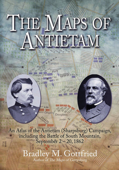
The Maps of Antietam Cover
Format: Hardback
Pages: 320
ISBN: 9781611210866
Pub Date: 01 Sep 2011
Imprint: Savas Beatie
Series: Savas Beatie Military Atlas Series
Illustrations: 124 full colour maps throughout
Description:
The Maps of Antietam breaks down the entire operation into 21 map sets or “action-sections” enriched with 124 full-colour original full-page maps. These spectacular cartographic creations bore down to the regimental and battery level and include the march into Maryland, the Harpers Ferry Operation, the Battle of South Mountain, the battle at Antietam, the retreat, and the fighting at Shepherdstown, as well as important marches and events. Each “action-section” is accompanied by as many as ten maps, and opposite each map is a full facing page of detailed, footnoted text describing the units, personalities, movements, and combat, including quotes from eyewitnesses, making the story of Lee’s raid into Maryland come alive.
The Maps Of Gettysburg Cover
Format: Hardback
Pages: 384
ISBN: 9781932714821
Pub Date: 15 Apr 2010
Imprint: Savas Beatie
Series: Savas Beatie Military Atlas Series
Illustrations: 144 full colour maps throughout
Description:
Thousands of books and articles have been written about Gettysburg, but the operation remains one of the most complex and difficult to understand. Bradley Gottfried’s groundbreaking The Maps of Gettysburg: An Atlas of the Gettysburg Campaign, June 3 – July 13, 1863 is a unique and thorough study of this multifaceted campaign.The Maps of Gettysburg breaks down the entire operation into thirty map sets or “action-sections” enriched with 144 detailed, full-page colour maps comprising the entire campaign.