Archaeology  /  British Archaeology
Footprints from the Past Cover
Format: Hardback
Pages: 298
ISBN: 9780904220827
Pub Date: 25 Sep 2018
Series: Oxford Archaeology Monograph
Illustrations: 72 tables
Description:
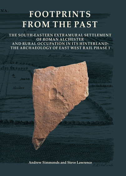
Excavations by Oxford Archaeology in advance of a programme of improvements to the railway between Bicester and Oxford investigated part of the south-eastern extramural settlement associated with the Roman fortress and subsequent town at Alchester, Oxfordshire, as well as rural settlements in its rural hinterland. The investigations at Alchester extended across two successive routes south to Dorchester-on-Thames, the earlier of which by-passed the eastern side of Otmoor and was superseded by a more direct route across the moor at the end of the 1st century AD. Settlement beside the earlier road may have been a successor to a pre-Roman settlement and appears from artefactual evidence to have been of quite high status during the initial, military phase, although no contemporary structural evidence was found.
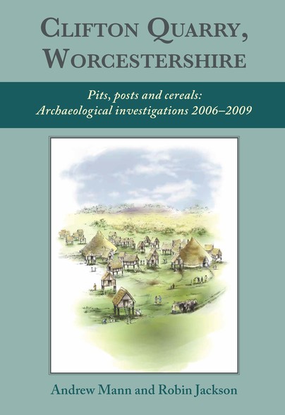
Clifton Quarry, Worcestershire Cover
Format: Hardback
Pages: 256
ISBN: 9781789250114
Pub Date: 30 Aug 2018
Imprint: Oxbow Books
Illustrations: b/w and colour
Description:
Between 2006 and 2009 Worcestershire Archaeology completed a series of investigations in advance of quarrying at Clifton Quarry, Worcestershire revealing one of the most important sequences of prehistoric to early medieval activity discovered to date from the Central Severn Valley. Well-preserved palaeoenvironmental deposits were recovered from features and associated abandoned channels of the River Severn. Analysis of this evidence is underpinned by a comprehensive programme of scientific dating, providing a record of changing patterns of landuse and activity from the Late Mesolithic onwards.
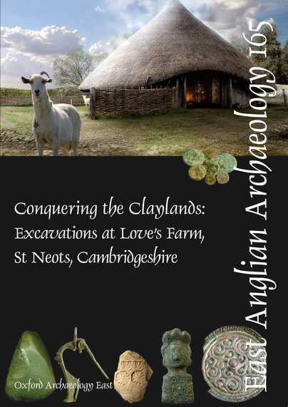
EAA 165: Conquering the Claylands Cover
Format: Paperback
Pages: 390
ISBN: 9781907588112
Pub Date: 21 Aug 2018
Series: East Anglian Archaeology Monograph
Illustrations: 197
Description:
Love’s Farm, St Neots, lies on the claylands near the western boundary of Cambridgeshire. Fieldwork conducted over 60ha by the county field unit, CAM ARC (now Oxford Archaeology East), followed geophysical survey, fieldwalking and evaluation. This extensive project permitted a detailed archaeological examination of a later prehistoric and Roman agricultural landscape on a previously unprecedented scale within the county.
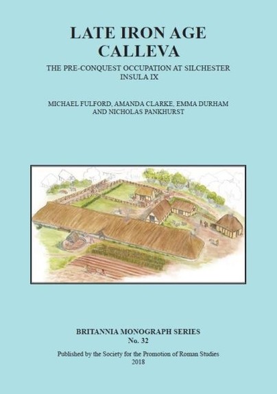
Late Iron Age Calleva Cover
Format: Paperback
Pages: 480
ISBN: 9780907764458
Pub Date: 31 Jul 2018
Series: Britannia Monographs
Illustrations: 171
Description:
The late Iron Age oppidum of Calleva underlies the Roman town at Silchester. Excavation (1997-2014) of a large area (0.3ha) of Insula IX revealed evidence of a rectilinear, NE/SW-NW/SE-oriented layout of the interior of the oppidum, dating from 20/10BC, with the remains of the larger part of one compound separated from its neighbours by fenced trackways.
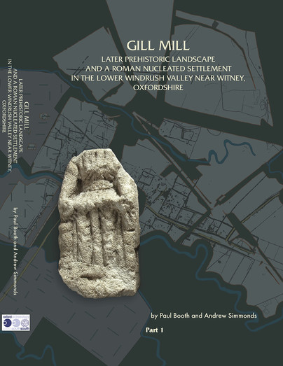
Gill Mill Cover
Format: Hardback
Pages: 916
ISBN: 9781905905423
Pub Date: 20 Jul 2018
Series: Thames Valley Landscapes Monograph
Illustrations: 410 illustrations; 168 tables
Description:
The valley floodplain landscape covered by the Gill Mill quarry, almost 130ha, was intensively exploited from about 300 BC at a variety of Iron Age settlements. The largest of these remained in occupation into the early 3rd century AD, but meanwhile a large nucleated settlement grew up around a road junction roughly 1km distant to the NW. This became the sole focus of occupation, covering an area of about 10ha.
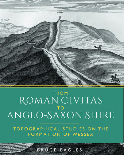
From Roman Civitas to Anglo-Saxon Shire Cover
Format: Paperback
Pages: 264
ISBN: 9781785709845
Pub Date: 12 Jul 2018
Imprint: Oxbow Books
Illustrations: b/w and colour
Description:
This book is the culmination of the author’s lifelong interest in the Roman to medieval transition in England and in the analysis of the historic landscape of Wessex. It begins with a focused, referenced, and critical exploration of the thorny, but crucial, issues of post-Roman personal and group identity, employing linguistic, historical, archaeological and toponymical evidence. A series of integrated studies seek to elucidate changes in the territorial organisation of the Wessex landscape, from Somerset to Hampshire, from the Roman period to the emergence of the historic counties.
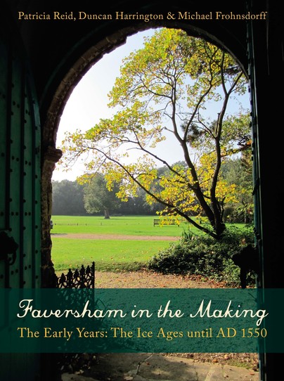
Faversham in the Making Cover
Format: Paperback
Pages: 192
ISBN: 9781911188353
Pub Date: 29 Jun 2018
Imprint: Windgather Press
Description:
Well known for its later gunpowder industry and the famous Shepherd Neame brewery, Faversham’s earlier medieval history also reveals it to have been an important religious and administrative centre. The town archives possess an unusually complete set of medieval-onwards town charters and other documents including a Magna Carta. Using archaeological and historical evidence set in an ever-changing physical and social context, the authors argue that there is a great deal more to this small town on the north Kent coast than is obvious at first glance.
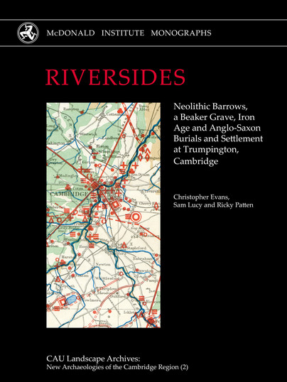
RIVERSIDES Cover
Format: Hardback
Pages: 484
ISBN: 9781902937847
Pub Date: 01 May 2018
Series: New Archaeologies of the Cambridge Region
Description:
The 2010–11 excavations along Trumpington’s riverside proved extraordinary on a number of accounts. Particularly for its ‘dead’, as it included Neolithic barrows (one with a mass interment), a double Beaker grave and an Early Anglo-Saxon cemetery, with a rich bed-burial interment in the latter accompanied by a rare gold cross. Associated settlement remains were recovered with each.
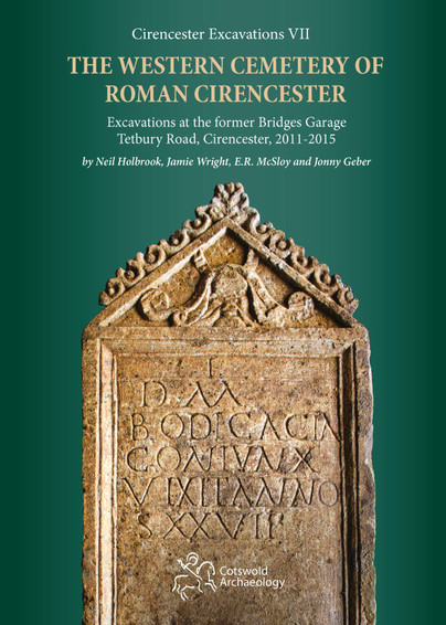
The Western Cemetery of Roman Cirencester Cover
Format: Hardback
Pages: 170
ISBN: 9780993454530
Pub Date: 30 Nov 2017
Series: Cirencester Excavations
Illustrations: 163
Description:
Excavations in 2011 to 2015 within the Western Cemetery of Roman Cirencester resulted in the discovery of 118 inhumation and 8 cremation burials, the largest investigation of a Roman cemetery in Cirencester since the Bath Gate excavations of the 1970s. A greater quantity of grave goods was recovered from this cemetery compared to the Bath Gate cemetery, testifying to the higher status of those buried here. Nine burials survived within a postulated walled cemetery.
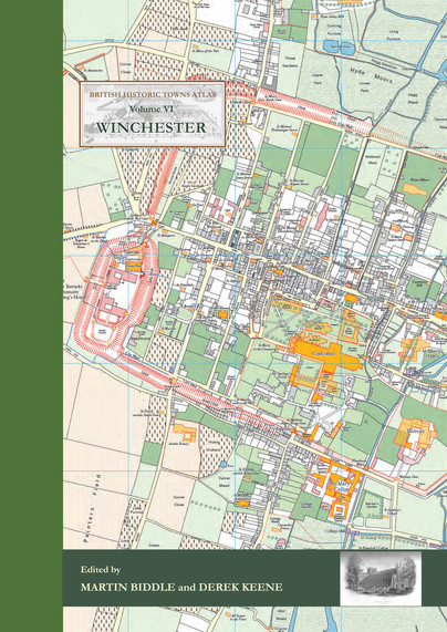
Winchester Cover
Format: Hardback
Pages: 144
ISBN: 9781785706660
Pub Date: 21 Nov 2017
Series: British Historic Towns Atlas
Illustrations: 24 pp of colour maps, 90 illus., almost all in ful
Description:
The volume is co-published by the Winchester Excavations Committee and forms Volume 11 of the Winchester Studies series. Following the success of volumes IV (Windsor and Eton) and V (York) in the series of Historic Towns Atlases, the new volume maps and explains the history of Winchester – a city which has played such an important part in English history from Roman times onwards. Combining many full-colour maps with an authoritative but very readable text, the atlas shows how the Roman city of Venta Belgarum became the second-most important city in England for several centuries: a walled town, the seat of kings and an ecclesiastical centre almost unparalleled in the country, before gently declining into a judicial centre and county town.
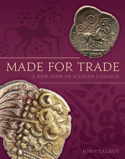
Made for Trade Cover
Format: Hardback
Pages: 320
ISBN: 9781785708121
Pub Date: 13 Oct 2017
Imprint: Oxbow Books
Illustrations: colour and b/w
Description:
The Late Iron Age coinage of England has long been recognised as an invaluable potential source of information about pre-Roman Britain, although its purpose has been much debated and never clearly established. Most research using this source material has been either detailed numismatic studies, which seek to categorise and tabulate the types of coin and order them chronologically based on stylistic change, or more general attempts to draw out meaning from the imagery or inscriptions on the coins. In Made for Trade, John Talbot presents the findings of a decade-long investigation that has challenged many pre-conceptions about the period.
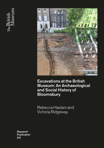
Excavations at the British Museum Cover
Format: Paperback
Pages: 250
ISBN: 9780861592104
Pub Date: 31 Jul 2017
Series: British Museum Research Publications
Illustrations: 160
Description:
In 1999 and 2007 respectively, the central courtyard and the northwest corner of the British Museum estate were redeveloped in order to create two iconic additions to the institution: the Great Court and the World Conservation and Exhibitions Centre. The execution of these projects provided the opportunity to investigate the archaeology and history of the Bloomsbury area and the museum itself through excavation and archival research. This volume presents the results of the ensuing studies undertaken by Pre-Construct Archaeology and in so doing details the evolution of this area of London from the Roman period into modern times.
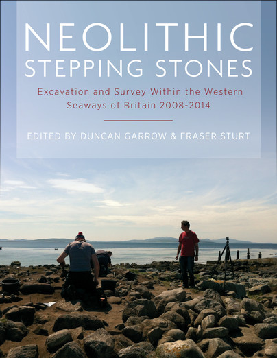
Neolithic Stepping Stones Cover
Format: Paperback
Pages: 192
ISBN: 9781785703478
Pub Date: 31 Jul 2017
Imprint: Oxbow Books
Illustrations: b/w
Description:
The ‘western seaways’ are an arc of sea extending from the Channel Islands in the south, through the Isles of Scilly around to Orkney in the north. This maritime zone has long been seen as a crucial corridor of interaction during later prehistory. Connections across it potentially led, for example, to the eventual arrival of the Neolithic in Britain, almost 1000 years after it arrived on the near continent.
Pudding Pan Cover
Format: Paperback
Pages: 202
ISBN: 9780861592029
Pub Date: 30 Apr 2017
Series: British Museum Research Publications
Illustrations: 80 colour illus.
Description:
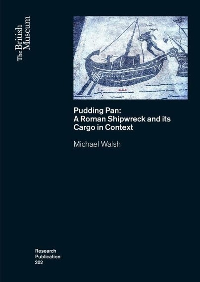
For more than 300 years commercial fishermen working in the outer Thames estuary have recovered Roman pottery in their oyster dredgers and fishing nets from the seabed in the vicinity of Pudding Pan. However, despite numerous attempts to locate the source of the material, this elusive site has remained undiscovered beneath the waves. This book assesses the recovered assemblage from Pudding Pan to determine the nature and location of the site.
The Lost Dark Age Kingdom of Rheged Cover
Format: Hardback
Pages: 200
ISBN: 9781785703119
Pub Date: 27 Feb 2017
Imprint: Oxbow Books
Illustrations: b/w and colour
Description:
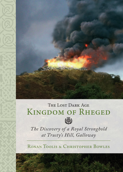
Trusty's Hill is an early medieval fort at Gatehouse of Fleet, Dumfries and Galloway. The hillfort comprises a fortified citadel defined by a vitrified rampart around its summit, with a number of enclosures looping out along lower-lying terraces and crags. The approach to its summit is flanked on one side by a circular rock-cut basin and on the other side by Pictish Symbols carved on to the face of a natural outcrop of bedrock.
Salt in Prehistoric Europe Cover
Format: Hardback
Pages: 162
ISBN: 9789088903847
Pub Date: 15 Jan 2017
Imprint: Sidestone Press
Illustrations: 12bw/49fc
Description:
Salt was a commodity of great importance in the ancient past, just as it is today. Its roles in promoting human health and in making food more palatable are well-known; in peasant societies it also plays a very important role in the preservation of foodstuffs and in a range of industries. Uncovering the evidence for the ancient production and use of salt has been a concern for historians over many years, but interest in the archaeology of salt has been a particular focus of research in recent times.